A land survey is a technique used to observe, measure, and make deductions of the shape of the land and gather necessary data for construction and civil engineering projects. The land survey is performed by a land surveyor using various land survey methods.
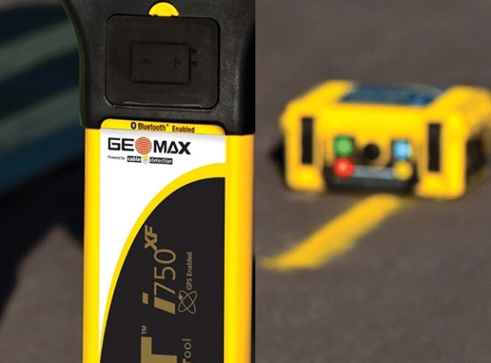
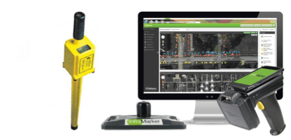
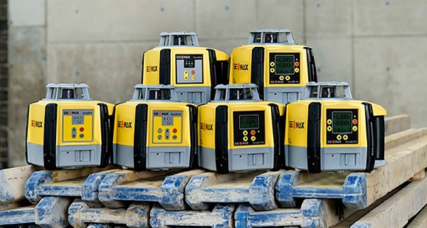
A land surveying professional or a land surveyor’s job is to measure and record the details of the land area. They use physics, mathematics, engineering, law, and other equipment to establish land boundaries. Common equipment used for land surveying, includes robotic total stations (RTS), prisms, GPS receivers, radios, 3D scanners, surveying software, and tablets. A land surveyor works both in the office and on project sites.
A] Importance of Land Surveying and Reasons to Conduct a Land Survey
Land Surveyors play a fundamental role in land development. A Land Surveyor is the first person to be present on any construction site, measuring and mapping areas of the land. These primary measurements are then used by engineers to understand the distinctive landscape as they start designing. It also helps engineers to plan structures with accuracy and maintain safety. Plus, this service is used by both commercial and residential owners.
There are several reasons why an individual may need land surveying services. Some of them are:
- A land survey helps determine the land’s potential, enabling you to begin work without any problems.
- Land surveys help acquire correct measurements of a new plot of land and determine its size. It helps discern the boundaries of a piece of land, which can further help in creating an appropriate construction plan. Not only does it help determine the size of the land, but also saves you from unnecessary disputes from the adjoining landowner.
- An accurate land survey prevents the property from being over or undervalued. In other words, it helps determine the actual worth of the land, enabling you to make the right purchase based on the landscape, location, and hardscape.
- It helps determine the topographical details of the said land. It helps detect soil quality, structural issues (if any) and determines if the area is arid or flood-prone. In short, it provides an accurate representation of the plot to the engineers conducting the survey. Hence, a proper land survey is necessary to prevent potential risks.
- In cases where you want to divide the land or property into pre-determined sections, a land survey is required. It ensures that the property is divided and handed over correctly sans any inaccuracies.
B] Different Types of Land Surveys
There are different land survey methods available. We’ll look at these briefly so you can understand them better.
- Topographic Survey: A Topographic Survey is conducted to determine the configuration of the earth’s surface and locate various topographic features, both natural and man-made. While this survey is performed to meet government requirements, it may also be performed at the request of architects or engineers during the process of planning site developments or improvements.
- Right-of-way Survey: Right-of-way (ROW) surveys are boundary survey that helps property and utility owners determine the access rights and access points on a particular property. Through this survey, the owners can avoid any conflicts that may occur in terms of the existing rights of others that may affect their ownership rights.
- Contour Survey:A contour survey outlines the mass of a particular area of land. It is a detailed survey done by the land surveyor to visually understand the horizontal and vertical topography or shape of the land. The contour survey is one of the essential requirements before starting a project.
- Engineering Survey:Engineering survey is generally a broad term used by land surveyors to describe their work on civil engineering sites. It involves all activities included in the planning & execution of surveys from the location, design and construction to operation & maintenance of civil and other such engineered projects.
- Location Survey:Location survey can be confused with boundary survey, except that this survey provides more information regarding the location. A location survey is mainly carried out to meet the requirements of the loan application or zoning permits. It helps determine whether all the local zoning laws and property boundaries have adhered.
- Construction Survey: A construction survey is a land survey method used to interpret design plans by staking out reference points & markers to guide the construction of new structures for engineering projects. It involves keeping tabs on buildings, roads, and other constructions, located on a specific property. Construction workers are provided with directions on how to implement improvements shown on development plans if measuring and staking are done precisely. It may also involve horizontal and vertical grading alignments.
- 3D Survey:A 3D survey is a photogrammetry software solution utilised by land surveying professionals. The software takes 2D images of any terrain or object captured by a camera or a drone and generates a dense 3D metric point cloud that offers better detailing. Here, the data gets processed automatically based on matching algorithms. A 3D survey is also more efficient than conventional surveying techniques and provides more accuracy.
- Site Planning Survey: A site planning survey is a combination of boundary and topographic surveys. It is used to prepare a site plan that shows the proposed improvements on a plot of land. The results obtained are utilised to plan design improvements before the actual construction starts.
- Cadastral Survey: A survey related to subdivisions and land boundaries made to define the limitations of a title and decide a unit suitable for transfer is called a cadastral survey. You need to perform a cadastral survey to establish a new property, define its borders, or change the rights concerning a property.
- Subdivision Survey: In cases where someone wants to divide a piece of land intotwo or more plots, sites, or other divisions, a subdivision survey is used.
- Utility Detection Survey: It is important to detect and map out underground utilities before breaking the ground for construction. Here, a utility detection survey provides critical information on the position, depth, and type of underground utilities (of a specific land).
Conclusion
This sums up the importance of land surveys and the different types of land surveys available. To avoid any legal issues, always conduct a land survey to determine its potential, be it while purchasing a new plot or constructing a new structure on an existing property. Thus, make the most of the benefits offered by land surveys, and if you require professional land surveying services in Oman, then get in touch with us right now!


