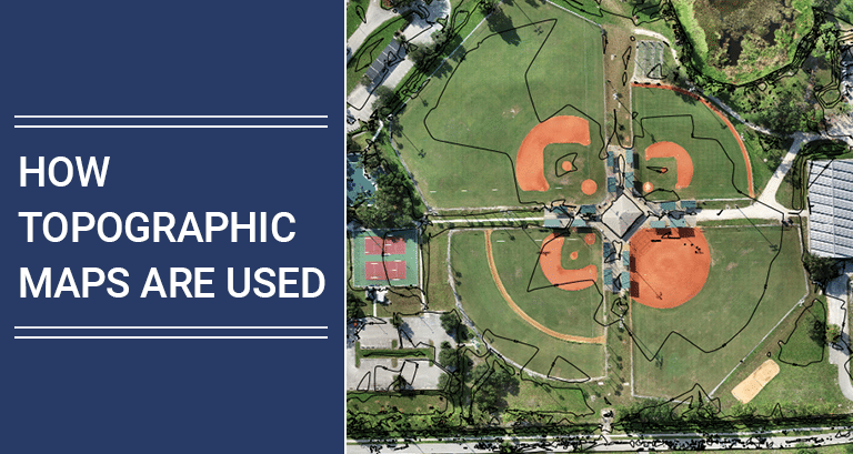
Topographical Maps are an important aspect for any engineering project. They can be used to gain a better understanding of the terrain. They also prove beneficial while estimating and evaluating the terrain, where the work is to be executed. A topographic Map is your 3D model that helps you understand changes in elevation by contours. […]
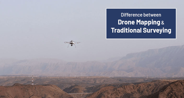
Drones and map-making software have recently made significant advancements, which has led to a huge advancement in the surveying industry. Never before have we been able to collect such vast amounts of data or with such precision. The data can be collected and processed at a rate never before seen. Mapping with drones yields more […]
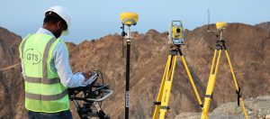
Over the decades, land surveys have drastically changed from ancient measuring ropes, Total stations, and GNSS, we have advanced to performing Aerial Survey with the help of UAVs. One of the major challenges achieved by drone innovation is the collection of geomatics (Land Study) data on landforms. Before drones came into the picture, the task […]
A land survey is a technique used to observe, measure, and make deductions of the shape of the land and gather necessary data for construction and civil engineering projects. The land survey is performed by a land surveyor using various land survey methods. A land surveying professional or a land surveyor’s job is to measure and record […]
In simple words, Topography is the study of the shapes, forms and features of land surfaces or the arrangement of the natural/artificial physical features of a particular area. In this article, we’ll look at what topographical surveys are and the importance of topographic surveys for various industries. A. What is a Topographical Survey? A Topographical […]

