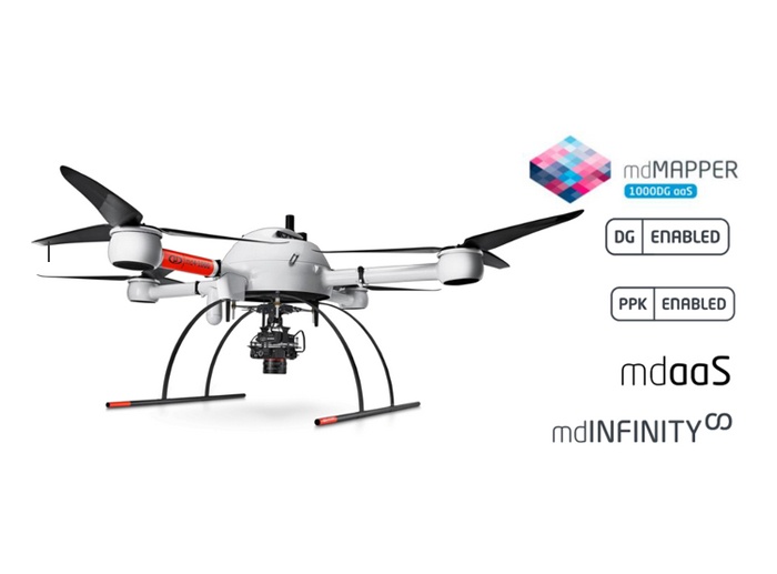
Drones and map-making software have recently made significant advancements, which has led to a huge advancement in the surveying industry. Never before have we been able to collect such vast amounts of data or with such precision. The data can be collected and processed at a rate never before seen.
Mapping with drones yields more information
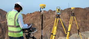
Let’s start with an example. Traditional surveying may take 24 hours to generate 2500 data points on a commercial project.
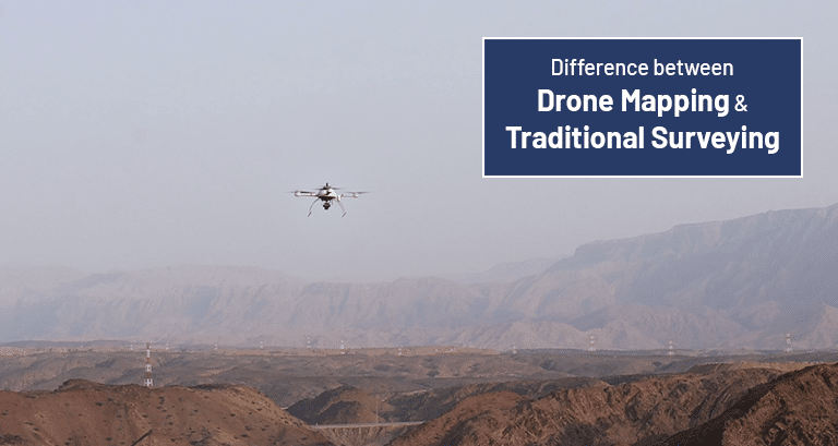
If you were to conduct Aerial Mapping for the same project, it would take 2.5 hours to generate 250,000,000 data points.
Mapping with drones yields data at a rate 100,000 times higher in a fraction of the time. Thanks to the copious amounts of data, precise 3D models, surfaces, and TINs can be crafted.
With these deliverables, designers and planners have access to a fully realised and precise 3D space in which to work. Conventional surveying necessitates extensive interpolation and extrapolation to generate surface features, and it cannot be used to model pre-existing structures.
If your field crew neglected to collect data points that are crucial to your surface model, you will quickly learn how time-consuming and challenging it is to create surfaces using traditional survey methods.
All of the Surveying Site Captured by Drones
Drone mapping also eliminates the need to repeatedly revisit a site to gather incomplete information. The point cloud and orthomosaic image contain all the data we need. This means that we will no longer overlook manhole covers, electrical boxes, or fire hydrants.
It’s also possible that you won’t need something right when it’s flown, but you’ll change your mind a few weeks or months down the road. Nothing needs to be done in the field because everything is stored in the cloud and can be accessed from a computer. Drone mapping can also be used in construction management.
Speed: Sheer Speed
Drone mapping, the latest surveying method, is superior to conventional survey techniques because the data can be delivered in 2-3 weeks rather than 4-6 days, and because the data sets are comprehensive.
Machine control based on 3D models is now the norm for large-scale development projects. The information will be used to mass-grade roads, install fill for lakes and retention areas, and dig and contour the contours of the lakes and retention areas.
By comparing the mapped area to the imagined one on a weekly basis, drone mapping makes it possible to provide regular updates on progress. As a result, you’ll have precise numbers with which to determine who should be compensated for what work on the site, including the delivery, relocation, and removal of materials.
Gulf Testing Solutions offers advanced surveying services known to equip the latest and cutting edge drones.

