Aerial Surveying Services

Survey Services
Aerial Survey
In order to achieve its goal and become truly successful, a business needs to step on the path of evolution. It needs to continuously evolve and keep innovating, a mantra GTS lives by. It is a one-stop shop for all your project needs in surveying and mapping services in the Sultanate of Oman.
Our UAVs, survey equipment, and advanced sensors are equipped with high-precision IMU technology that enables us to be at the forefront of innovation. It gives us the ability to efficiently deliver results at a faster pace and with tremendous accuracy in the history of surveying and mapping. Our people, their passions, & adaptations to technology are the key to our success now and will continue to be in the future.

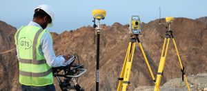
We have extensive experience and a proven track record of providing professional surveying services in Oman for public and private-sector clients. Our licensed professional surveyors are highly-trained personnel with considerable field experience.  We provide numerous services in the Sultanate, including the following: Topographical survey, bathymetric survey, lidar survey, magnetic survey, corridor survey, volumetric survey, Engineering survey, and GNSS survey.
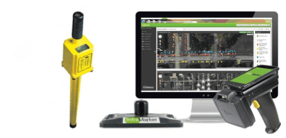
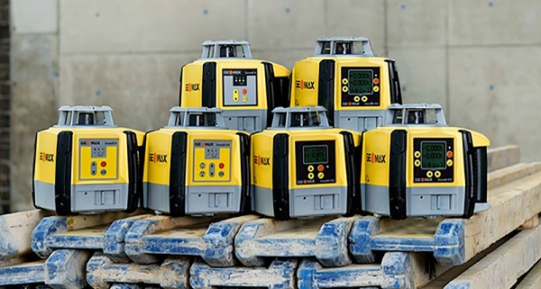
We strive towards excellence in rendering quality services to our customers by harnessing our state of art international equipment such as Lidar Drones, Mapping Drones, Echosounders, GNSS Receivers, Robotic Manual Total Stations, Digital and Automatic Levels.
Aerial Mapping Survey provides digital information about the land elevation and features. It is best suited to identify land elevation, roadways, terrain and features for large areas that would either be too difficult to capture or would require a considerable amount of time to survey manually. An aerial Survey is also an ideal solution for areas that are difficult to access, and have minimal site obstructions as seen from the sky.
Our high-precision survey services ensure that clients have access to the most precise data needed to make critical decisions across the life of their projects. We use advanced photogrammetric image processing techniques to produce a wide variety of deliverables, including geo-referenced ortho-imagery to dense 3D point clouds and digital terrain models. By utilizing both fixed and rotary wing systems, our Group is equipped to cater to almost every conceivable requirement.

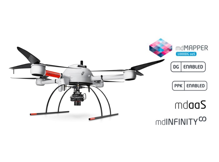
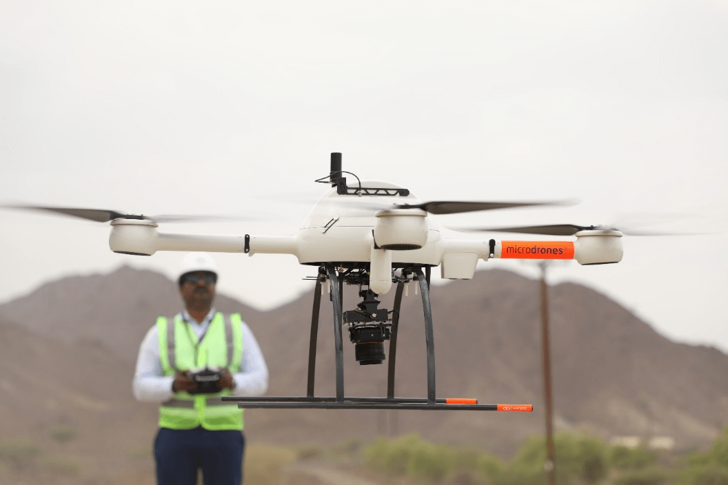
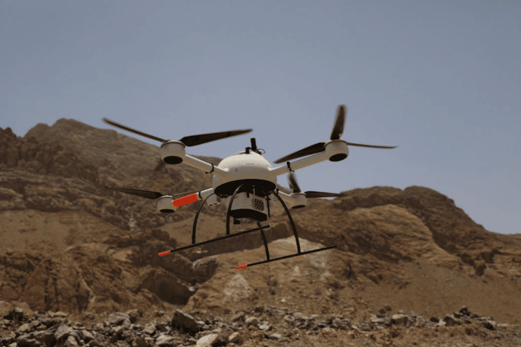
GTS uses the German brand microdrones mdMapper. These are IMU-enabled Quadcopter Drones for Aerial Mapping with a proven track record of completing more than 600 flights in the Sultanate of Oman with 100% client satisfaction. What differentiates microdrones from other drones is Accuracy, Higher altitude flights, IMU, Stability and well-advanced software for Data Processing. mdInfinity is a powerful ecosystem that enables users to quickly and efficiently process geospatial data.

Aerial LiDAR (Light, Detection and Ranging) refers to a method of survey data capture wherein a laser is reflected off an object, and the response time to the return sensor enables the calculation of the distance.
LiDAR sensors can collect data quickly with very high accuracy by measuring 10-80 points per square meter. LiDAR Survey is Ideal for Collecting elevation data in a dense forest, especially in cases where photogrammetry fails to reveal the accurate terrain surface due to dense canopy cover.
LiDAR sensor is an ideal solution to achieve absolute accuracy, especially if the intention is to create a realistic bare earth model because of its ability to account for elevation and vegetation. In fact, thanks to LiDAR’s high data point density (with sensors emitting hundreds of points per square meter), surveyors can create a really robust data set.

Benefits of Aerial Survey

Accuracy

The last five years have brought around many developments in UAV and camera technology. This means that drones can use cameras that shoot up to 5.2k resolution imagery and video. Having such pixel density at our disposal ensures that the aerial surveys we perform are completed with the highest accuracy possible. Drones feature the latest stabilization techniques that help capture ultra-high definition images. The increasing use of GPS, mainly real-time kinematics, ensures complete accuracy.

Health & Safety

Surveying can be a challenging job in dangerous or structural environments. Drones are ideal tools to capture data without compromising security. They ensure that there is minimal risk to surveying professionals and the general public. All the visual data is captured easily from the air, leaving you with very few health and safety concerns. In turn, this lowers planning time and negates the need for extensive health and safety considerations. It provides a quick turnaround for the entire project.

Subject Accessibility

UAVs make it easier to reach locations in difficult conditions. By harnessing the skills of an experienced drone pilot and pre-planned flight paths, aerial mapping drones can access high towers, roofs, masts, buildings, wind turbines and so on, with ease and provide excellent results. With high definition imagery up to 30x zoom and remote access from the drone's optic, you can be sure of a thorough inspection of the subject.

Speed

Drones are flexible and help cover vast areas in a short period. Pre-planning the drone's flight path helps contribute to the sheer speed a drone survey can get completed in. From the initial planning to data processing and product delivery, aerial surveys ensure customer satisfaction in time-sensitive projects.

Cost-effective

When compared with other surveys, aerial survey costs open new horizons and perspectives concerning what is possible and affordable in the aerial survey discipline. Earlier, it would take huge costs and complicated logistical plans to take an aerial survey. Now with the relatively low overheads and significantly reduced costs, drones make more things possible for surveying professionals to get relatively affordable and increasingly accurate output from the aerial surveys drones.

Our Aerial Surveying Services includes

FAQs

1. What is an aerial survey?

An aerial survey is a process of collecting geomatics or other imagery by using airborne vehicles such as airplanes, helicopters, UAVs, balloons and so on.

2.What is an aerial survey used for?

Aerial surveying is used to capture images that traditional means cannot capture. It is ideal for large areas and locations with difficult access or high traffic.

3.How does an aerial survey work?

As the drone is released into the air, it utilizes its downward-facing sensors and cameras to capture images.

4.What is the most common type of aerial survey?

The most common type is a drone aerial survey. For further queries about aerial surveys, get in touch with us!